Archive Record
Images
Additional Images [3]
Metadata
Title |
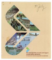
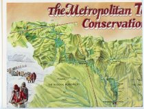
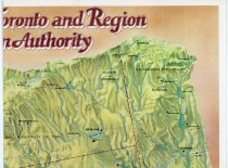
The Metropolitan Toironto and Region Conservation Authority Map and Brochure |
Collection |
Miscellaneous Boxes: Box 31 - NHS.2024.27 |
Object Name |
Map |
Scope & Content |
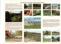
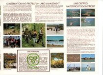
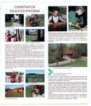
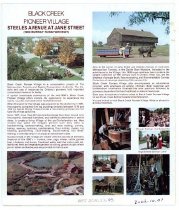
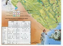
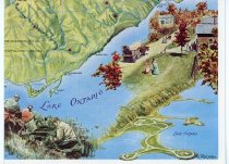
A guide and map published by the Metropolitan Toronto and Region Conservation Authority in the 1980's or 90's. One side is a detailed map of all of the designated Conservation areas in the Metropolitan Toronto and surrounding regions, their features and when they are open to the public. At the time of publication, there were 14 distinct Conservation areas, stretching from Peel region in the west to Durham region in the east, Metro Toronto in the south and York Region in the north. The reverse side of the map explains the goals of conservation, some of the Conservation Authority's projects and accomplishments, Conservation programs and special features of various Conservation areas. This map was also donated by Norman Jolly. |
Object ID |
NHS.2024.27.93 |
Date |
2002 |
Search Terms |
The Metropolitan Toronto and Region Conservation Authority Black Creek Pioneer Village Bruce's Mill Lake Ontario Waterfront Development |